The tradition & historical record
6 min read · 2 sourcesBudj Bim heritage areas includes several protected areas in Victoria, Australia, the largest two being Budj Bim National Heritage Landscape and the Budj Bim Cultural Landscape. Within the latter, there are three Indigenous Protected Areas: the Tyrendarra Indigenous Protected Area, Kurtonitj Indigenous Protected Area, and the Lake Condah Indigenous Protected Area. All of the protected areas are related to the volcanic landscape created by the eruption of Budj Bim (Mount Eccles) more than 30,000 years ago, and the dormant volcano is included in the National Heritage and World Heritage sites (which also include Budj Bim National Park). The various areas are of great historic and cultural significance to various clans of the Gunditjmara, the local Aboriginal people: Budj Bim features in their mythology as a creator-being, and the Gunditjmara people developed an extensive system of aquaculture on the land created by the lava flows up to 8,000 years ago. Tae Rak (Lake Condah) forms part of the wetlands, and its English name is remembered for the Lake Condah Mission which was established a few kilometres away in 1867. Budj Bim National Heritage Landscape was added to the National Heritage List on 20 July 2004, and Budj Bim Cultural Landscape was designated a UNESCO World Heritage Site on 6 July 2019. The land is owned and managed by Gunditj Mirring Traditional Owners Aboriginal Corporation, a Registered Aboriginal Party, along with various other bodies involved in landcare. 1
Volcanic eruption
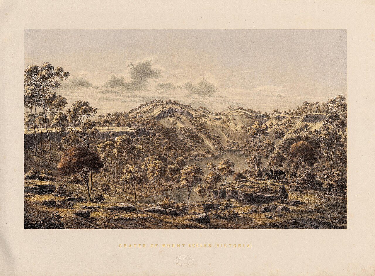
The creation story of the local Gunditjmara people is based on the eruption of Budj Bim (Mount Eccles) more than 30,000 years ago. It was via this event that an ancestral creator-being known as Budj Bim was revealed. Budj Bim's eruption was dated at within 3,100 years either side of 36,900 years BP, and nearby Tower Hill similarly dated, in early 2020. Significantly, owing to the presence of human artefacts found under volcanic ash at Tower Hill, this is a "minimum age constraint for human presence in Victoria", and also could be interpreted as evidence for the Gunditjmara oral histories which tell of volcanic eruptions being some of the oldest oral traditions in existence. 1
Eel traps
The Tyrendarra lava flow changed the drainage pattern of the region, and created large wetlands. From some thousands of years before European settlement in the area in the early 19th century (one of five eel trap systems at Lake Condah has been carbon dated to 6,600 years old), the Gunditjmara clans had developed a system of aquaculture which channelled the water of the Darlot Creek into adjacent lowlying areas trapping short-finned eels (or kooyang in Gunditjmara) and other fish in a series of weirs, dams and channels. This provided a year-round supply of eels which were harvested with woven traps and often smoked in hollows of the manna gum (Eucalyptus viminalis), and permitted a forager (hunter-gatherer) society to develop into a settled society constructing permanent stone dwellings. The engineered wetlands provided the basis to sustain large groups of people to dwell permanently in the vicinity. The first European to see the traps was Chief Protector of Aborigines in Port Phillip district, George Augustus Robinson, in July 1841. He reported "an immense piece of ground trenched and banked, resembling the work of civilized man but which on inspection I found to be the work of the Aboriginal natives, purposefully constructed for catching eels", in a swampy area near Mount William, within the Grampians National Park in south-western Victoria. He estimated that the area covered at least 15 acres (6.1 ha). The evidence was buried or ignored for 135 years, until Peter Coutts of the Victoria Archaeological Survey carried out surveys at Lake Condah (Tae Rak), altogether different terrain, in the 1970s. 1
Frontier wars
After European settlement began in western Victoria from the late 1830s, attempts to colonise the Gunditjmara led to the Eumeralla Wars, which did not conclude until the 1860s. The rocks and uneven land of the lava flow gave the Gunditjmara some advantage, as the terrain was unsuited to horses. However, many Aboriginal people were killed, and the rest displaced. The Victorian Government created Aboriginal reserves to house them; some were moved to Lake Condah Mission after establishment in 1867. 1
Lake Condah
The Kerrup-Jmara ("people of the lake") are a clan of Gunditjmara Aboriginal people, who lived around the shores of the lake, which they called Tae Rak, for thousands of years pre-dating the arrival of Europeans, and had specific responsibility for it. Lake Condah was first happened upon by European settlers in 1841, when David Edgar and William Thompson Edgar were travelling through the area. Edgar gave it the name Lake Condon. Anglican pastoralist Cecil Pybus Cooke, who in 1849 acquired Lake Condah station, changed the name of Lake Condon to Lake Condah in the mistaken belief that it meant "black swan", which lived on the lake. The lake itself is a shallow basin, about 4 kilometres (2.5 mi) in length and 1 kilometre (0.62 mi) wide. In March 2008, Lake Condah was returned to Gunditjmara people. The Lake Condah Restoration Conservation Management Plan was completed in a way that ensured that cultural heritage values were maintained, and works were completed in 2010, winning the Civil Contractors Federation Earth Award. 1
The Mission
The Lake Condah Mission was established in 1867 as a Church of England mission, approximately 3 kilometres (1.9 mi) from Lake Condah, which had been home to the Kerrupjmara people, after displaced Gunditjmara refused to move from their traditional lands. The site, on 2,000 acres (810 ha) north of Darlot Creek, was formally reserved in 1869, the same year that the Victorian Central Board for the Protection of Aborigines was created by the Aboriginal Protection Act 1869. The mission was overseen by the various incarnations of the Central Board. In 1886 the Half-Caste Act 1886 was passed, which provided for the removal of "half-caste" (part-European) Aboriginal people from reserves. The Aborigines Act 1910 rescinded that decision, and many people returned. Local bluestone was used build the houses and the church (from 1883 to 1885), named St Mary's. There were 26 buildings in total, with 15 acres (6.1 ha) cultivated. By 1871 there were about 80 residents, and by the late 1880s about 120. The mission closed at the end of 1918. The last residents were transferred to Lake Tyers Mission apart from four elderly people. The residents' request for the land to be handed over to them for farming was refused, and blocks of land were sold to [white] soldier settlers. Former residents living in the area continued to attend the church and send their children to the mission school, which continued to operate until June 1948. In 1950 it was decided that the Mission would close, and the church and other facilities were destroyed to facilitate this. According to Noel Learmonth's Four Towns and a Survey: "Condah Mission Station Church, 1885. Destroyed 1950. 1
The text above is adapted from the Wikipedia article “Budj Bim heritage areas”, available under the Creative Commons Attribution-ShareAlike 4.0 licence. 1
Budj Bim heritage areas is areas of historical and cultural significance near Budj Bim volcano in western Victoria, Australia, according to the structured record cited below. This entry was generated automatically from that record and has not yet been reviewed by a person familiar with the tradition. 2
The source record links this tradition to 1 external register, which can be verified through the citation. 2